


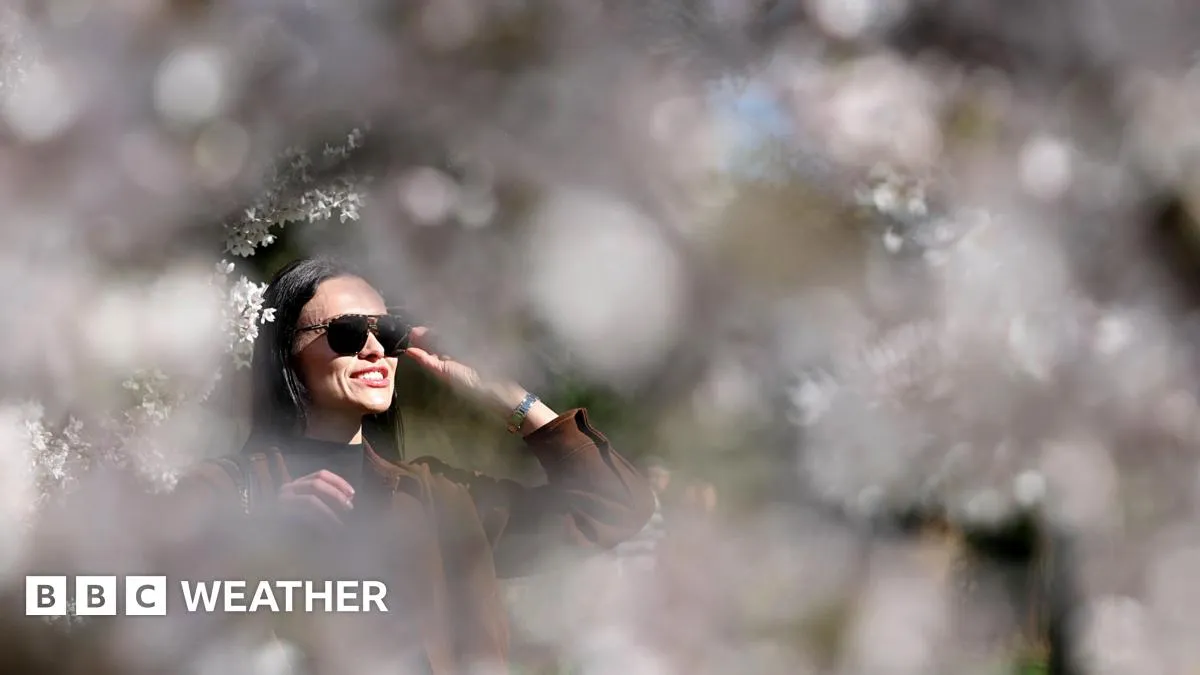
The United Kingdom is currently experiencing a period of warmer than average weather, with temperatures expected to remain in the mid to high teens for the next few days. This trend is characterized by long spells of sunshine and very little rainfall in the forecast.
On Friday, temperatures are anticipated to peak again in Scotland and Northern Ireland, potentially marking their warmest day of the year so far. The current weather patterns are influenced by a massive ridge of high-pressure air that has settled over the region.
While the UK enjoys this warm spell, other regions, particularly the American West, are facing record-breaking temperatures due to similar high-pressure systems. The National Weather Service has indicated that temperature records across multiple states are likely to be broken, with predictions of ongoing heat waves that could exacerbate conditions for the upcoming fire season.
In the American West, snowpack levels are at record lows, with many areas reporting only 50 percent of average snowpack levels. This situation raises concerns for water supply, as approximately 40 million people rely on the Colorado River for their water needs.
Experts like Daniel Swain have noted that the current ridge of high pressure is the strongest observed outside of summer months, which could have significant implications for weather patterns moving forward. Swain remarked, “This will be the single strongest ridge we’ve observed outside of summer in any month.”
As the UK continues to enjoy its warmer weather, the contrast with the American West highlights the broader implications of climate variability. The ongoing conditions in both regions serve as a reminder of the complexities of weather patterns and their effects on local climates.
Details remain unconfirmed regarding the long-term impacts of these weather patterns, but the immediate forecast suggests continued warmth and sunshine for the UK. April 1st is typically when snowpack levels would peak historically, but the current conditions indicate a shift in these patterns.
As the situation develops, officials and meteorologists will continue to monitor the weather closely, providing updates as necessary to keep the public informed about any changes in conditions.