


Introduction
The Greenland map serves as an essential tool for understanding the vast and intricate geography of the world’s largest island. Its significance extends beyond geographical representation to insights into climate patterns, natural resources, and geopolitical dynamics. As climate change impacts the Arctic region, the Greenland map has garnered increased attention from scientists, policymakers, and environmentalists alike.
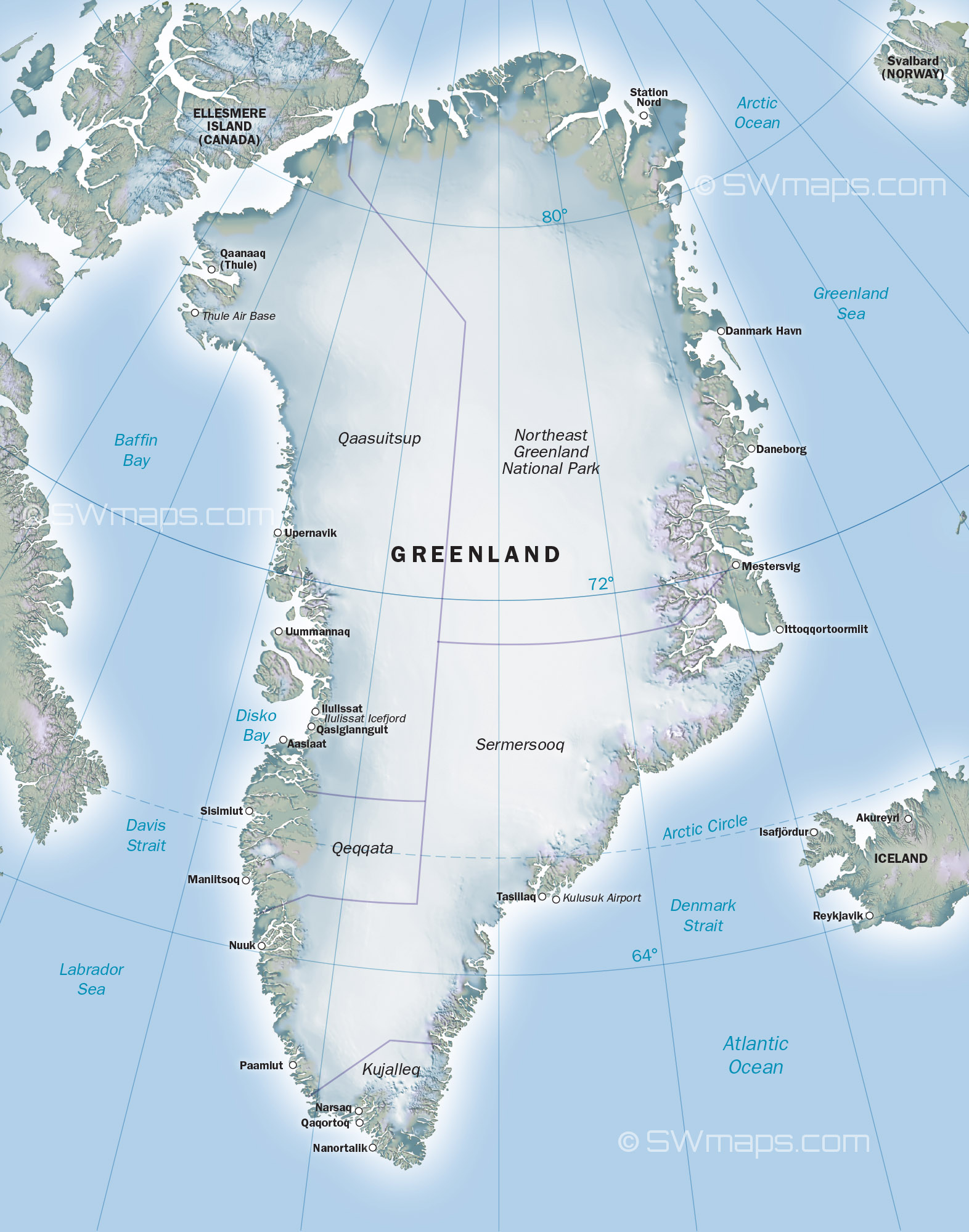
Geographical Overview
Greenland is an autonomous territory within the Kingdom of Denmark, with a majority of its landmass covered by the Greenland Ice Sheet, which is the second-largest body of ice in the world. The map of Greenland highlights its vast terrain, which includes mountain ranges, ice fjords, and coastal areas teeming with biodiversity. Key cities such as Nuuk, the capital, and Sisimiut are also prominently featured, showcasing human settlements amid a predominantly rugged landscape.
Climate Change and Environmental Impact
Recent studies indicate that Greenland is experiencing significant climate change, resulting in accelerated ice melt and rising sea levels. The Greenland map is crucial in visualising these changes. Maps produced by satellite imagery and aerial surveys provide real-time data on the ice sheet’s retreat, enabling scientists to track its implications on global weather patterns and ocean currents.
Geopolitical Importance
In recent years, the geopolitical significance of Greenland has increased, especially concerning energy resources and strategic military positioning. The map illustrates vital shipping routes opening as Arctic ice recedes, leading to interests from various nations seeking to access untapped resources. The discussions surrounding the reclamation of the map’s resources draw attention to the island’s geopolitical context, linking it to international relations among Arctic nations.
Conclusion
In conclusion, the Greenland map serves as more than just a geographical representation; it is a significant document that encapsulates the intertwined dynamics of environment, climate, and politics. Its role will continue to evolve as global warming progresses and interests in the Arctic amplify. For scholars, policymakers, and residents alike, understanding the Greenland map is essential for navigating the complexities of this unique territory in an ever-changing world.