


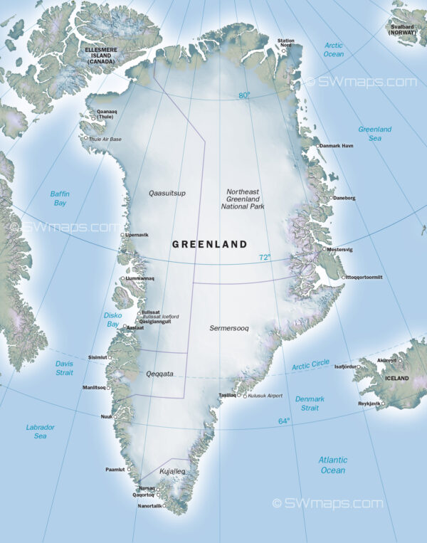
Introduction to Greenland’s Geography The Greenland map is more than just a representation of geographical features; it holds critical importance in understanding the island’s vast landscapes, climate, and resources. Approximately 80 percent of Greenland is covered by ice, making it the world’s largest non-continental island. This mapping not only highlights the physical attributes of Greenland […]
Tag: Maps
Back To Top